A Simple Weather Forecast Page Using Dark Sky API
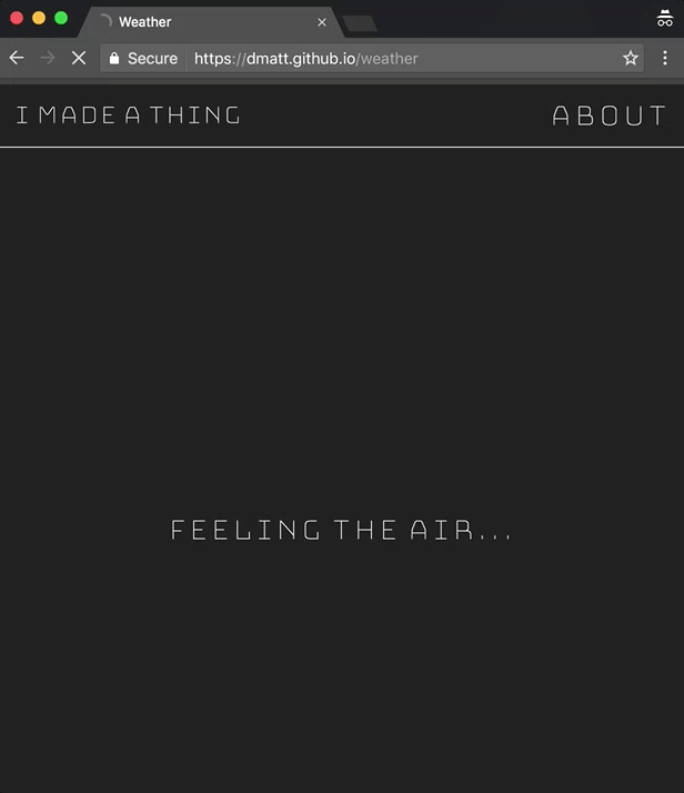
This simple weather page (no longer available) gets the user’s location and returns the current temperature, a short description of the upcoming forecast, and a corresponding animated icon.
What, how?
First, a loading message is displayed while the page checks if a browser location is available and permissible by the user via the geolocation API. If available, getCurrentPosition() is called and we get a position object which contains latitude and longitude coordinates.
With the coordinates, the page gets the users’ city and state text from Google’s maps.googleapis.com/maps/api/geocode/json endpoint and plops that into the page HTML.
Then, we use the very awesome Dark Sky API and send them the very same coordiates that we sent to Google. With this API, you can even get minute-by-minute forecasts if you want, which is cray.
With Dark Sky, we grab the current temperature, a short summary of the hourly forecast, and plop those into the page HTML. Dark Sky also returns a handy icon string which represents the appropriate weather, i.e. clear-day or rainy-night. We use this string with the Skycons library to display smooth-looking animated icons. Here’s what that looks like:
There’s also an event handler for clicks on the °F text on the page which will switch the temperature unit from F to C with some simple JavaScript maths (rather than making another call to Dark Sky).
To display all the temperature, forecast, and location data on the page, I used the Google font API, which has a very pretty interface for filtering and selecting fonts.